WGS84
Handling WGS84 (longitude, latitude, used by GPS, etc) coordinates is a pretty common requirement under concave hull use cases.
Give you an example, this is the boundary of Songjiang district, Shanghai, China(中国上海市松江区): (click image to view in geojson.io)

If you directly pass [[lon, lat], ...] to concave_hull algorithm, you get something like this:

It's waaay tooo rough. Because wgs84 are degrees in lon~(-180,+180), lat~(-90,+90), they are small numbers!!!
And it's hard to tweat the length_threshold under this metric system (CRS/SRS as you may know).
You may know that 1.0 degree in lon/lat is about 100km, then use
0.01(~1km) as threshold. But it's very tricky to get it right. And the ratio (1 degree -> 100km) varies in lon/lat direction, and varies at different latitude.
concave_hull with help of mapbox/cheap-ruler
We use mapbox/cheap-ruler to quickly convert WGS84 data (we use [lon, lat] order)
to local coordinates (in direction east/north, in meters, ENU as you may have know), so you can have better control over lenght_threshold parameter.
Just add is_wgs84=True to concave_hull or concave_hull_indexes:
hull = concave_hull(lon_lats, length_threshold=thresh, is_wgs84=True)
length_threshold |
Screenshot | View in geojson.io |
|---|---|---|
| 10m | 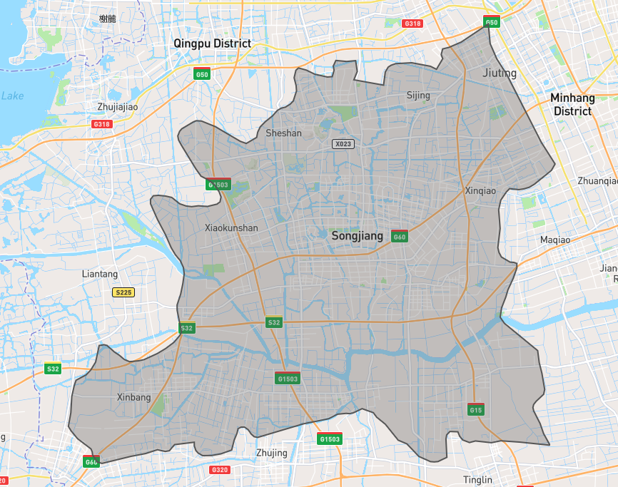 |
link |
| 100m |  |
link |
| 1,000m |  |
link |
| 5,000m | 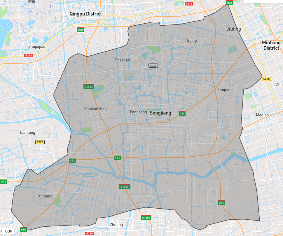 |
link |
| 10,000m |  |
link |
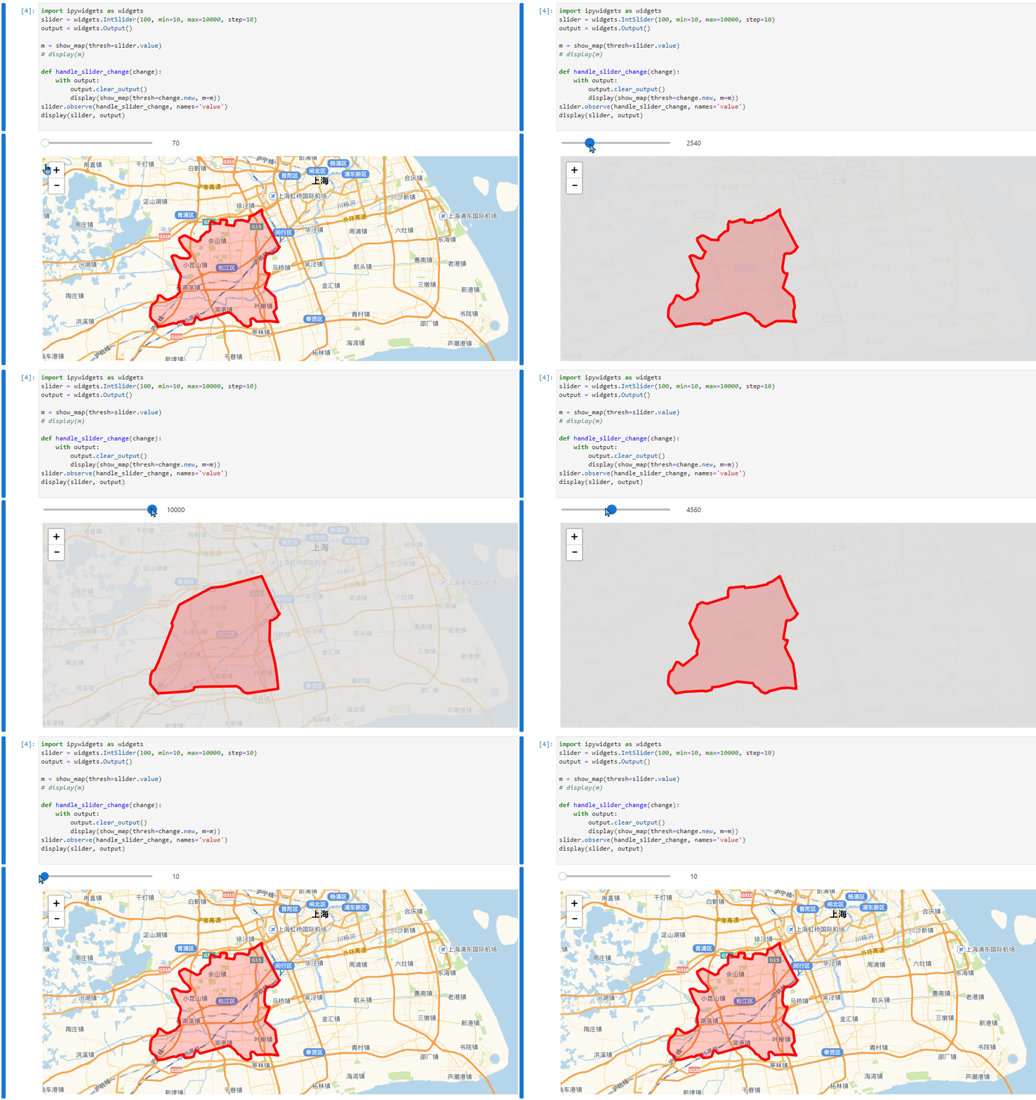
Interactive demo
And there is a jupyter notebook:
- GitHub: https://github.com/cubao/index/blob/master/docs/notebooks/concave-hull.ipynb
- readthedocs: https://cubao.readthedocs.io/en/latest/notebooks/concave-hull/
other CRS/SRS?
For other CRS/SRS, you need to manually convert it to some cartesian coordinates
with know metric (e.g. unit 1 is 1 meter in reality), then:
- use
concave_hull_indexes(cartesian_coords, ...)to getindexes, then - use
original_coords[indexes]to get desired concave hull